Skip to product information
1 of 1

Air Inspect Training
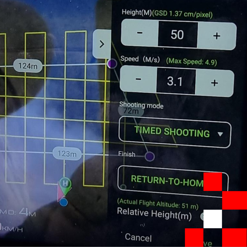
Data Acquisition

Data Acquisition

SKU: AITU222
Regular price $900.00 AUD
Regular price Sale price $900.00 AUD
Sale Sold out
GST not included.
  • Apple Pay
  • Google Pay
  • Mastercard
  • PayPal
  • Visa
View full details

This unit involves the skills and knowledge required to conduct aerial data acquisition using remote piloted aircraft systems (RPAS), within a special information handling framework, in compliance with relevant regulatory requirements of the Civil Aviation Safety Authority (CASA) and national operating standards.

It also includes interpreting and recording information from RPAS and role equipment.

This unit addresses aviation technical skill requirements related to equipment and system operations of flight or ground operations personnel and contributes to safe and effective performance in complex aviation operational environments relating to surveying and mapping.

Operations are conducted as part of commercial aircraft activities across a variety of spatial data acquisition contexts within the Australian aviation industry. Work is performed independently or under limited supervision within a single-pilot or multi-crew RPAS environment.

Learning Outcomes
  • Conduct aerial mapping and modelling
  • Operating area boundaries established and environmentally sensitive areas identified
  • Provide aerial mapping and modelling imagery
  • Evaluate data for preliminary of non-conformity, trends or patterns
  • Data storage and management
Competency
  • Develop, amend and modify mapping and modelling plans
  • Identifying aerial mapping and modelling hazards
  • Identify logistical considerations for management plan
  • Factors to be considered when determining payload weights for aerial applications
  • Manual acquisition techniques
  • Understanding image overlap